
Elevate your aerial imagery with our Drone Image Editing service. Our expert editors enhance colors, sharpness, and remove distortions, ensuring breathtaking visuals that showcase your property, landscape, or project from a unique and captivating perspective.
Background Colour Fading
Highlighting Property Area
Landmark Pin Dropping
Aerial Lot Marking
Boundary Marking
Drone Image Editing
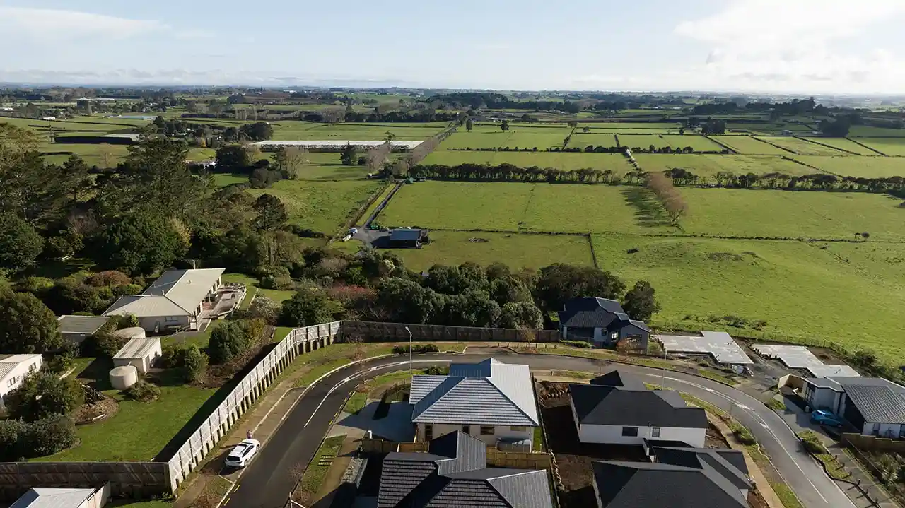
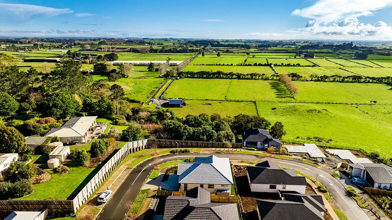
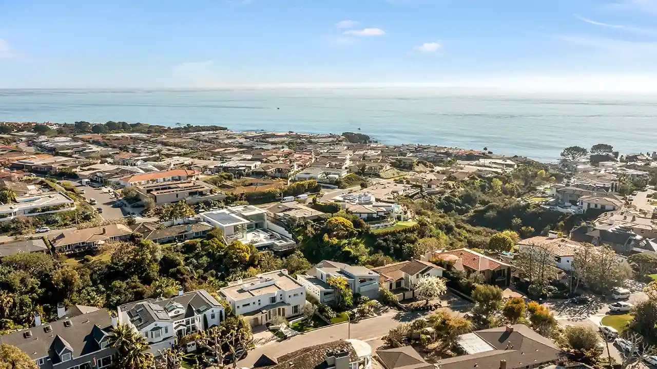
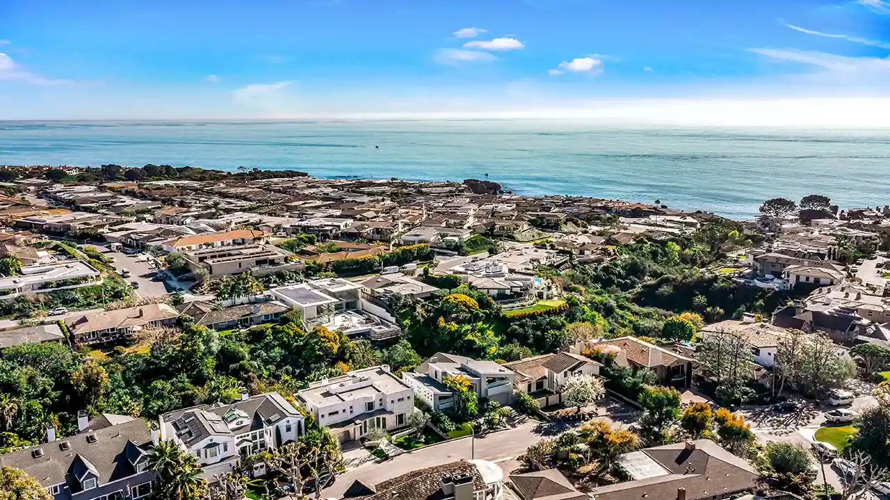
The complete view
Showcase your property from a unique perspective, giving potential buyers a comprehensive view of the land, gardens, and surrounding area all in one stunning photo.
Bang for your buck
Enhance your home’s online presence with our innovative aerial editing solutions. Leave a lasting impression with a visually stunning representation of your property, all at an affordable price.
Be unique
Our skilled editors can turn ordinary aerial photos into mesmerizing masterpieces that captivate potential buyers. With their artistic touch and keen eye for detail, they bring out hidden beauty and make images irresistibly eye-catching.
Flaunt the beauty of that place
Location is crucial in real estate. Our aerial drop pin edit feature visually showcases the property’s surroundings and nearby attractions, capturing the attention of buyers and giving you a competitive edge.
Single
50¢
HDR
$1.25
Complete Edit
$3.00
The process of enhancing and modifying photos or videos taken from a drone or aerial perspective is known as drone or aerial editing. It involves utilizing a variety of techniques and effects to enhance visual appeal and convey a specific message.
Property Background Colour Fading:
To enhance the prominence of the property or subject in drone footage, background colors can be subtly muted using color grading techniques. This can lead to an improved composition with enhanced clarity and visual appeal.
Highlighting Property Area:
To highlight a specific piece of real estate in drone footage, visual effects like a vignette or spotlight can be applied. This involves selectively brightening or adding a glow effect to the property, making it stand out from the surroundings.
Landmark Pin Dropping:
The aerial footage can be annotated or marked with pins to identify significant features or points of interest. These pins, which can be dynamic or static, provide viewers with visual cues about noteworthy locations.
Aerial Lot Marking:
Use graphic overlays or annotations to designate specific lots or areas of a property that you want to draw attention to. This can help viewers and potential buyers understand the layout and divisions of the property.
Boundary Marking:
You can use graphic elements like lines, curves, or overlays to clearly designate the bounds of a property. This helps in understanding the size and boundaries of the property.
Maintaining a balance between enhancing the aesthetic appeal and accurately representing the subject matter is crucial when editing aerial footage. By employing these techniques, you can create visually appealing and informative drone or aerial films for various purposes, including real estate marketing, land surveying, or promotional videos.